There’s been so much talk about the V&T Railroad lately, in the paper, on this site, on the Yahoo Group, and even at the Urban Blog. So I decided I needed to head out to east Carson and get my feet on the ground again and refamiliarize myself with the land this railroad is going to be passing through. It’s one thing to talk about the V&T route based on maps and rusty memories, but it’s another to get the dust on your boots. I’m going to split this series up into a few parts, to make it more manageable. Today I’m starting with the route of the railroad through Mound House, and the temporary end-of-line.
The new V&T extension is being built in 3 phases. Phase 1 involved filling in the Overman Pit and extending the tracks about a mile past Gold Hill, and that was finished a couple of years ago. Phase 2, the one they’re working on now, was devoted to getting the tracks all the way down the hill to Mound House so a temporary depot could be built, about ten miles of track. On the surface this looks like it should have been easy, since they were following the exact same route the old V&T took. And for the most part all they had to do was regrade the route that was already there, bulldozing it smooth and laying down new gravel for the tracks to rest on. These were called Phases 2A and 2B, and aside from the work that had to be done on reopening Tunnel #2, it went fairly quickly. They finished that last year, and the tracks now reach just to the foothills of Mound House.
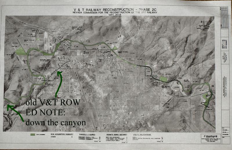
Phase 2C, though, is more complicated. They can’t follow the original route of the V&T through the town, since that route is now a road and the tracks would have to go through a crowded residential and industrial area. In another article I’ll look at what has become of the old V&T tracks. But since they couldn’t follow the old line, they had to carve a new one out of the desert. And they also had to build a bridge over Hwy 50, because there’s too much traffic through there to put in a grade crossing. So Phase 2C is the most complicated part of the V&T rebuild to date, and that’s what we’re going to look at today.
To see any of these photos larger, click the pictures then click the “All Sizes” button.
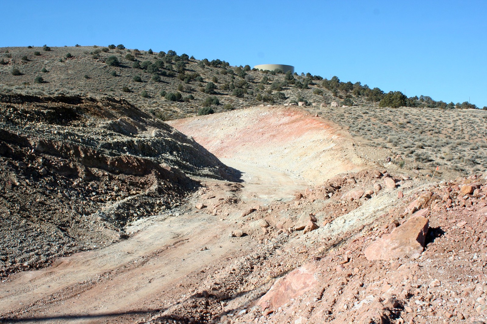
The V&T tracks descend from the Comstock through a series of curves. Surveyed by I.E. James in 1868, this design allows the railroad to drop 1,200 feet in elevation on a smooth and consistent grade. It’s said there are enough curves between Gold Hill and Mound House to make seventeen complete circles. So it’s understandable that when the tracks reach the flats of Mound House they would want to travel in a straight line for a while. And that is what they used to do, make one last curve out of the foothills then head straight for the Mound House depot. But with the new alignment the tracks have been sent curving away again, hugging the foothills in a wide sweep around the undeveloped outskirts of town. Above you see the railbed coming down from the mountains on the original alignment. Below you see the new alignment that has been cut through native sagebrush. These photos were taken from the exact point where the two alignments diverge. The old roadbed is just visible at the left side.
The engineers who designed the new V&T took great care to cross as few streets as possible on the way from Gold Hill to Carson. Because with railroad regulations the way they are now, every grade crossing requires an expensive gate and signal to warn motorists and pedestrians that a train is coming. The old V&T could get away with putting up a simple “Watch For Trains” sign, but now each street crossing requires tens of thousands of dollars to install an FRA-approved crossing. The only one of these crossings that they couldn’t avoid was right here, at Linehan Road. The new tracks will cut across the road here, and a signal will have to be installed.
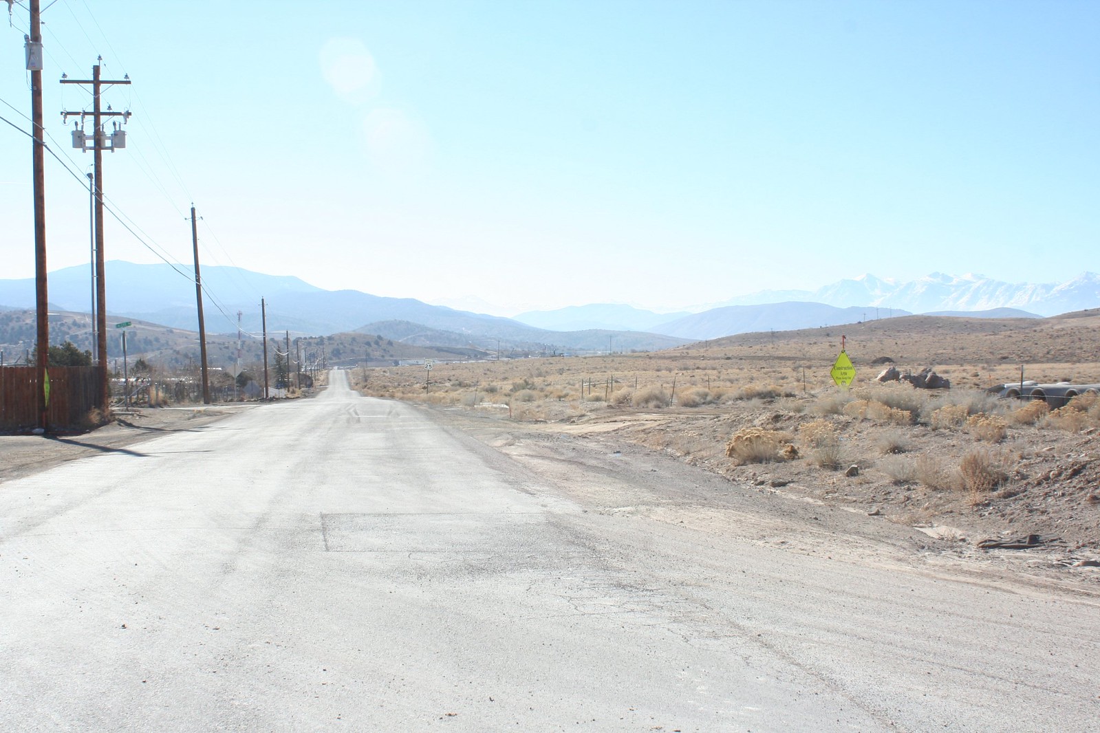
Linehan Road, where the tracks are going to cross.

Looking uphill from the Linehan Road crossing.

Looking downhill from the Linehan Road crossing. Just ahead the tracks curve off to the left, still hugging the foothills.
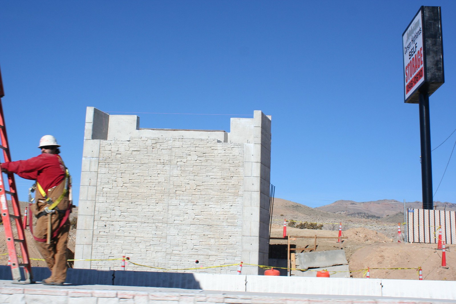
After Linehan Road the tracks head straight for Hwy 50. This is where they’re building a bridge over the highway that the trains will cross over. They picked a good spot to make the crossing. It’s right at the Carson-Lyon county line, it’s at the very crest of the hill, and the highway is in a slight cut with banks on both sides to make building a bridge easy. Right now the bridge supports are being built, while the steel bridge itself is sitting in a field nearby waiting for everything to be ready. This bridge used to carry Union Pacific traffic over a freeway in Las Vegas. After the freeway was widened they had to put up a longer bridge, and the UP was gracious enough to donate their unneeded bridge to the V&T.

A long view of the bridge. The new right of way can be seen beyond it.
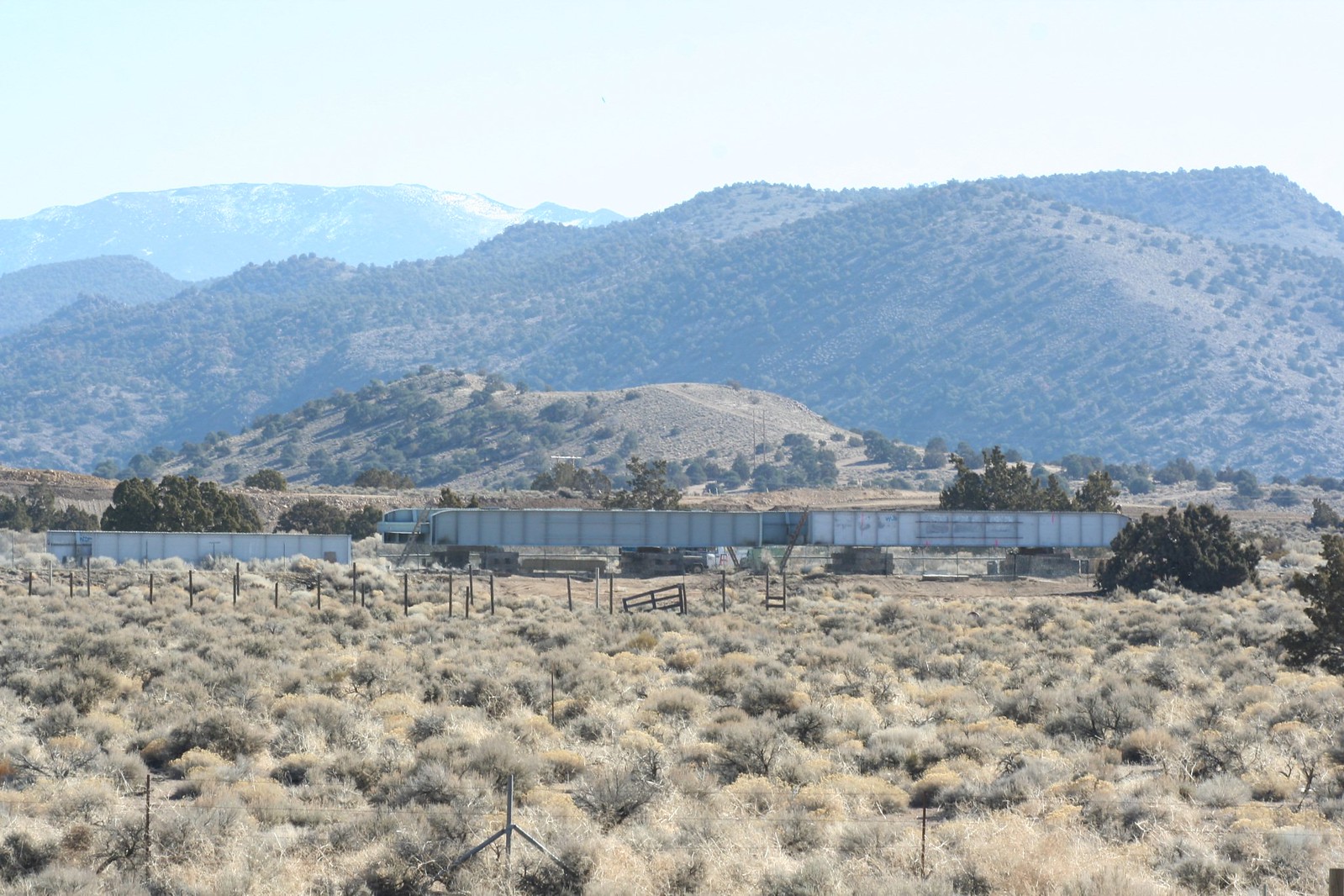
The actual bridge, sitting nearby.
After the bridge the tracks pass through this cut. To the left at the top of the hill you can see the new Pony Express Monument.
After the bridge over Hwy 50, the tracks are only going to go about a mile further as part of Phase 2. It swings around the west side of this hill here, where the original alignment ran to the east. At this point the tracks are officially inside the Carson City limits, although they’re still a long way from reaching the CC depot site. But they’re planning on building some kind of depot at the end of Phase 2, or maybe just a platform, and running trains from here up to Virginia City. Let’s go take a look at the “Mound House depot” site.
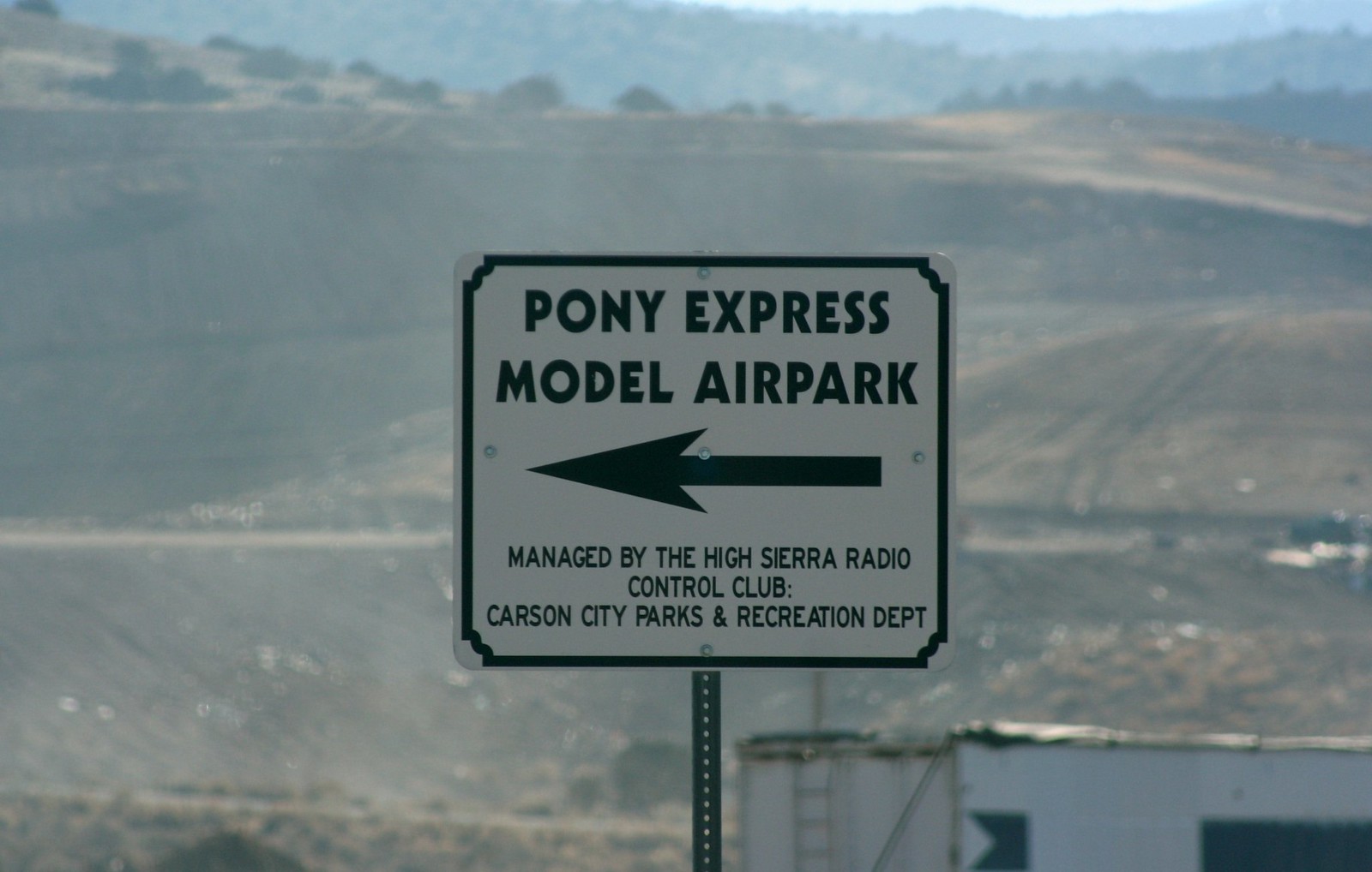
This sign points the way to the railroad. There has been a small airport up here for many years. The “model airpark” is home to the High Sierra RC Club. In the background is the Carson City landfill.
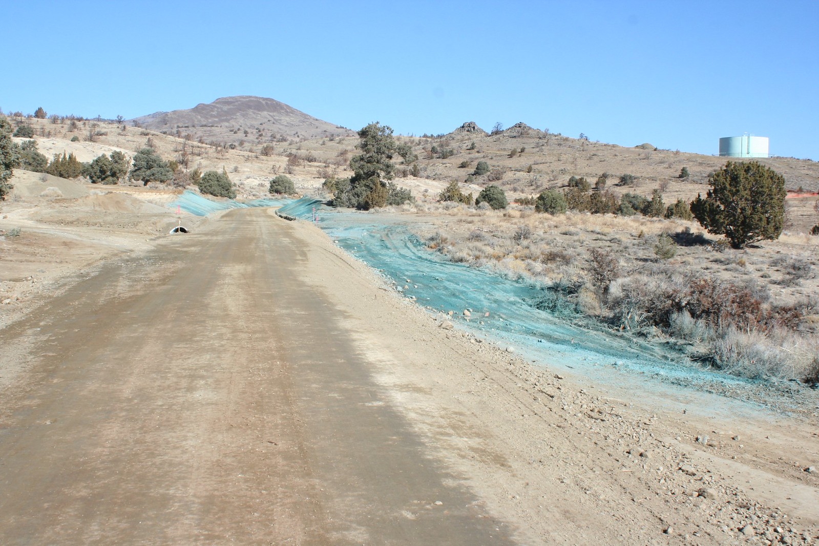
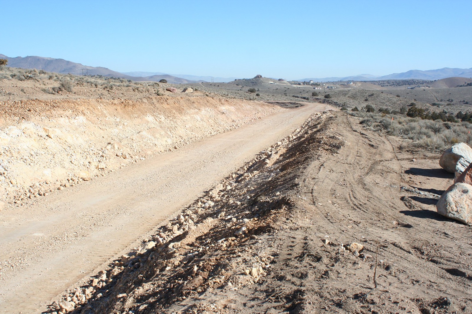
A look up the road towards the airpark shows that this is still an active work zone. The railbed is mostly graded here, but it still needs to be worked on a little more.
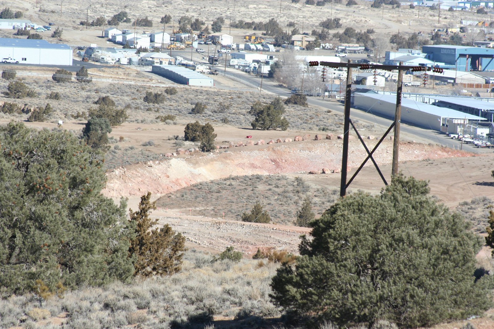
From a nearby hill you can see the Pony Express Airpark in the foreground, and the new V&T in the background. The most likely location for the depot site seems to be either on the near side or the far side of that curve.
This panorama looks down on the construction zone. The fresh scar of the V&T right-of-way slopes downhill from left to right, hugging the hill.
This panorama from ground level looks across the airpark runway towards the construction. The tracks along this stretch are slightly elevated, so if they did put a depot or a platform here there would probably be a flight of stairs to climb up to get to it.
Looking east from the airpark, the railbed stretches away to a curve in the distance. Looks to me like it’s done and ready for tracks!
Seen from above, this deep cut had to be made through the land in order to maintain a constant grade down to the river.
The other end of the cut is seen from ground level here. This cut marks the end of Phase 2. The tracks are going to stop right here, and this will remain the end of the line until Phase 3 is ready to go. Phase 3 will take the line from here down through the Carson River Canyon, which from here is less than a mile away. But the problem is the Railway Commission doesn’t have the money to build Phase 3 right now. So it’s conceivable this spot could remain the end of the line for years to come.
This is also the point where the new V&T alignment meets up with the original alignment. This photo was taken from Highlands Drive, which is part of the original right-of-way. The bypass of Mound House ends here, so when Phase 3 starts they’ll be laying track on the original grade that trains have been running since 1869.
As you can see, grading work on Phase 2C is nearly done, and I’m sure they’ll start putting down the rails soon. They’re scheduled to set the Hwy 50 bridge in place in March, and claim that the rails will be in place and ready for train traffic by August 2009. At that point you’ll be able to board the train at the “Mound House stop” (actually inside the Carson City limits) and ride it all the way up to Virginia City. And that’s when the V&T Reconstruction Project becomes a Real Thing, even if won’t be completely finished.








I’m just as excited about the new V&T being built. The only thing I question is, will people enjoy (and pay) to go on a railroad that has views of junkyards, the city dump, and parts of Mound House that kids will scratch their heads about? I hope they can mask as much of that as possible…
I kind of liked what Dwight was quoted as saying in the RGJ this morning;
Railway board member Dwight Millard of Carson City said he wants a major community event calling attention to the progress of the project after the rail line is completed to Mound House.
“What about a Fourth of July celebration? We could put a locomotive on the bridge and just blow smoke at everybody,” Millard said, also proposing updated signs along the highway to let motorists and others know the railroad is coming.
A community based event would be a very effective piece of promotion and advertising.
Great report. Is the MH “depot” site stinky? That’s my #1 concern…
I don’t think it gets stinky there. There’s a hill dividing it from the dump, and the wind would have to be blowing from the south, which it rarely does around here.