This is Part 1 in the Road to Vegas series. To read the other installments, click here.
So last month we made a quick trip to Las Vegas to visit family. Being the penny pinchers that we are, we decided to make the drive, rather than paying for airline tickets and a rental car. Of course, with the price of gas the way it is, we probably could have bought a couple of tickets for the price of filling our tank. But, I think we still made out in the end.
So anyway, since we drove down there, we got to experience the many joys and wonders of US 95, the main North-South artery in Nevada. This road traverses the state from the Oregon border all the way down, almost to the “tip” of Nevada at Cal Nev Ari. But the stretch between Reno and Vegas is the busiest and most-traveled, and that’s the part we drove. Twice.
And so, since you can probably find millions and millions of other blog posts about Las Vegas out there, I won’t be focusing on that part of the trip. Instead, over the next few days (or weeks), we’ll take a look at the road to Vegas, US 95, and all the sights and small towns you bump into along the way. So that way if you ever have to make the drive, you’ll know what you’re getting yourself into. Or, I’ve you’ve already made it, you’ll probably find something familiar here, as well as something you’ve missed and you’ll have to look for next time.
I’m going to make this into a multi-part series, and I can only hope with my proclivity for procrastination that I actually manage to finish the whole thing. I’m kind of setting myself up for failure doing it this way. This first part will focus on all the miscellaneous little sights we saw on our way down there, then the next however many parts will be devoted to all the small towns on the way. So ideally, when it’s all done, this will be a fairly complete guide to US 95, from Carson to Vegas.
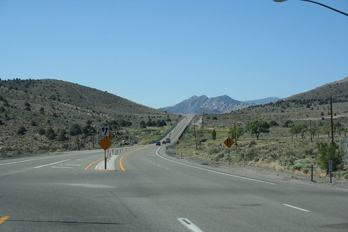
This is probably a familiar sight to many of you. Holbrook Junction, just north of Topaz Lake, is where we turned off of Hwy 395 and diverted onto the road to Las Vegas.
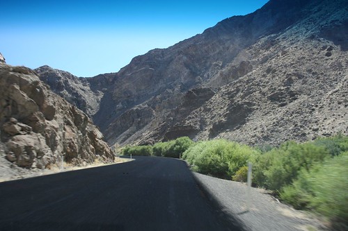
Outside of the Smith Valley, Hwy 208 passes through Wilson Canyon and hugs the Walker River. It’s like a mini Grand Canyon through here.
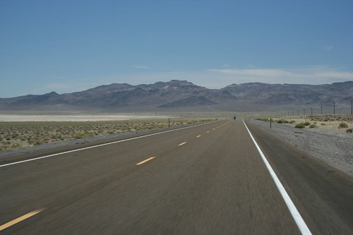
Once you pass Yerington, this is what the road mostly looks like. Hot, dry, and flat, a series of long straightaways slicing through the sagebrush plains.
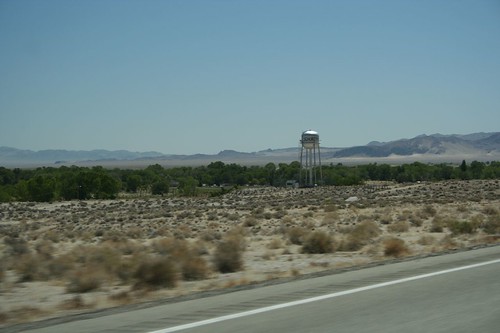
This water tower marks the town of Schurz. Schurz is located entirely within the Walker River Indian Reservation, and the majority of residents are Native American.
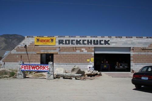
Right outside of Schurz, at the intersection of Hwys 95 and 95A, is Rockchuck. Fireworks may be largely illegal in Nevada, but the Indians have an exemption and there are quite a few fireworks stands here in Schurz. I bet they love the Independence Day season, as it gives them a diversion from their main business of selling rocks.
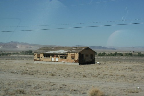
Also in Schurz is this cozy fixer-upper.
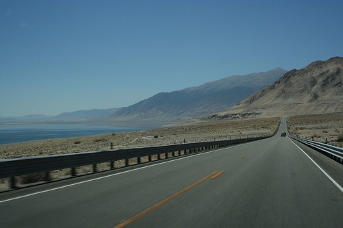
The last big lake you see on the way to Vegas is Walker Lake. This is the end of the Walker River; the river dumps into the lake, but there’s no outlet so all the water just evaporates from here. Hwy 95 follows along the west side of the lake, with a few barren camping and picnic areas along the shoreline.
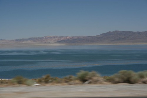
Walker Lake is one of the last remnants of ancient Lake Lahontan, which during the last ice age covered many of the valleys in Western Nevada. The waters have been slowly receding over the last 12,000 years, leaving Walker Lake as an oasis in the middle of the Great Basin. The lake level has been in extra sharp decline since the arrival of Americans in the West, though. The Walker River keeps being diverted for irrigation, causing less and less water to come into the lake every year. One day it might just dry up completely, or at least be reduced to a smallish puddle.
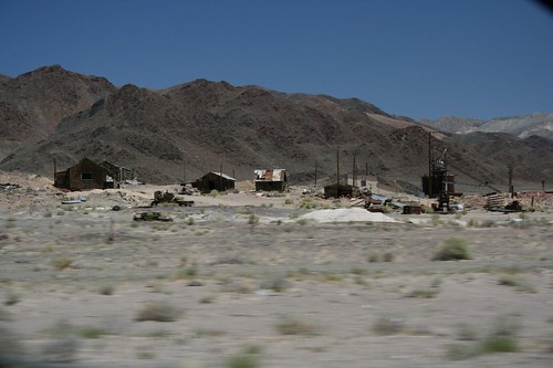
Beyond Walker Lake, there’s very little water, so all the settlements are small places. Almost every town between Hawthorne and Las Vegas was originally built as a mining camp; some of the larger towns are still populated, and we’ll be looking at those in future installments. But there are plenty of ghost towns along this road as well. The older ones have almost completely disappeared, while some more recent mining operations have still left pretty substantial ruins behind. This one is not too far outside of Hawthorne, perched on a small hill close to the road.

And not all the mines have dried up, either. Some of them, like this place further to the south, are still very much in operation. This mine is run by Cind-R-Lite, and they’re digging up this old cinder cone to get decorative rock to feed the landscaping needs of Las Vegas’ building boom.
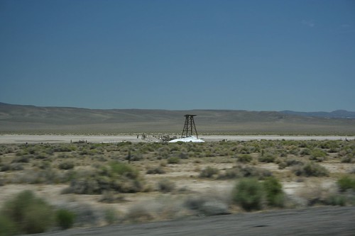
This is the Rhodes Salt Marsh. Once there was a fairly large salt mining operation here, with a town and even a railroad spur off of the Carson and Colorado line. Now all that’s left is this wooden tower at the edge of the dry lake bed.
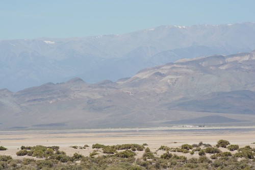
The Columbus Salt Marsh is just a few miles south of Rhodes, and it was also the site of a large borax mining operation. Now there’s nothing left but the views.
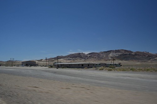
At the intersection of Hwys 95 and 6 is the burned-out shell of what used to be the town of Coaldale Junction. Coaldale is a pretty recent ghost town, probably abandoned within the last 10-15 years.
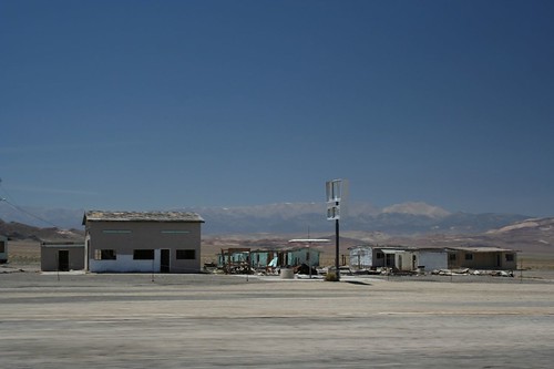
There are still the ruins here of an old truck stop, complete with restaurant, bar, motel, and gas pumps. The entire town was listed up for sale recently; I’m guessing there haven’t been any takers.
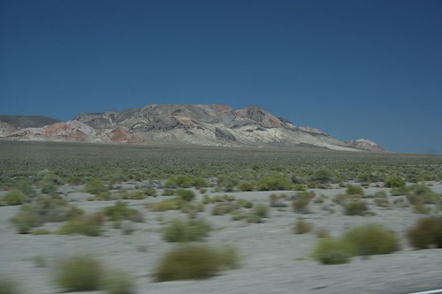
Most of the drive is pretty desolate, but the mountains along the way can certainly be striking.
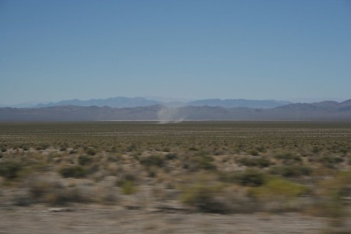
Dust devils are common sights in the middle of the desert. These little mini tornadoes can be seen from miles away, sweeping their way across the landscape.
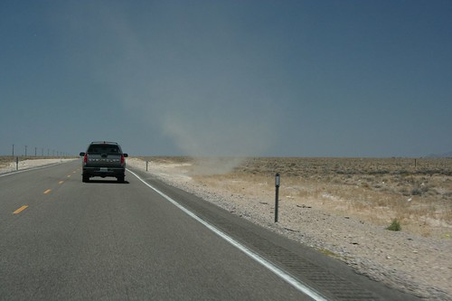
And not all the dust devils are lurking off in the distance. This big one parked itself by the side of the road, hoping to snare a passing pickup.
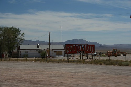
Another common sight in Central Nevada are the brothels. 11 of Nevada’s counties allow legal prostitution, so this road between Reno and Vegas has several places of ill repute scattered along the roadside. Here is the Cottontail Ranch, which seems to have fallen on hard times. The building is all boarded up, and a couple of very dejected bikers were sitting in the parking lot. Even the website is offline.
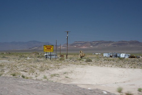
The Shady Lady Ranch is further south and more set back from the highway. It announces itself with this small sign by the road.
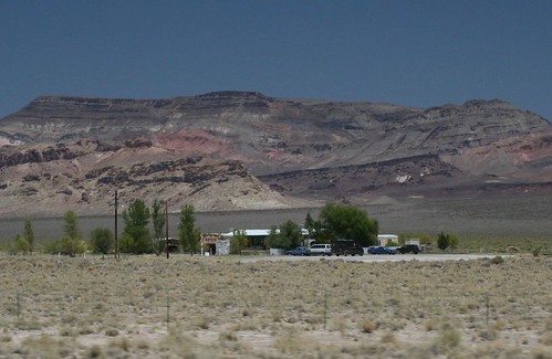
The funniest thing I saw on the whole trip was this UPS truck in the parking lot of the Shady Lady Ranch (see the closeup). He’s just dropping off a package, right?
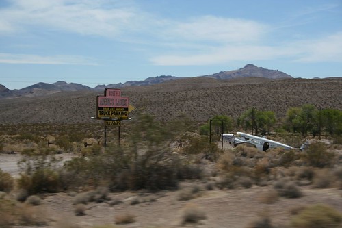
Angel’s Ladies is just on the outskirts of Beatty, and somehow thinks a broken-down airplane will make the place more charming.
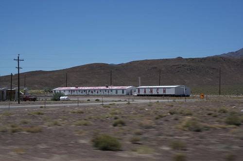
But the Playmate Ranch wins the prize for being most obviously just a mobile home plunked down in the desert.
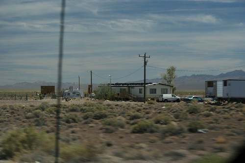
Speaking of mobile homes, this one keeps tires on their roof. For safekeeping, maybe?
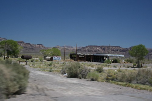
This old burned-out gas station near Scotty’s Junction is for sale. It’s a steal, folks!
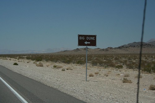
In the Amargosa Valley, you see the sign for the Big Dune.
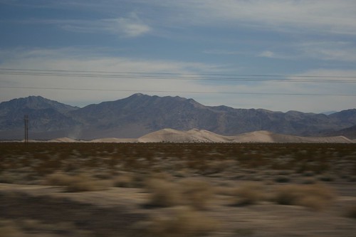
Turns out that’s the turnoff for Amargosa Dunes, a local hotspot for ATV riding. You can see the dune off in the distance.
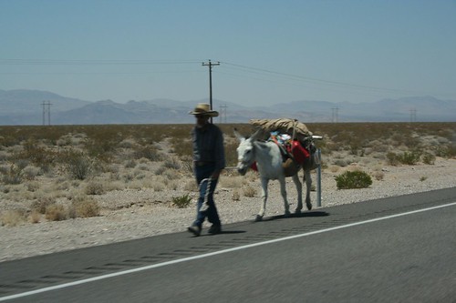
Along the way, we bumped into Juan Valdez. He’s a long way from the mountains of Columbia, that’s for sure. We actually saw him twice, once on the way down on Friday, then again on Monday. In that time he had walked about a hundred miles. I think he should be to Vegas by now.
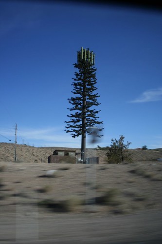
And finally, we saw this cell phone tower cleverly disguised as a pine tree. The ruse might have worked, if only there were another pine tree within a hundred miles of here.
Check back later for Part 2, where we start looking at all the towns along the road. For a full list of all the installments so far, check here.

